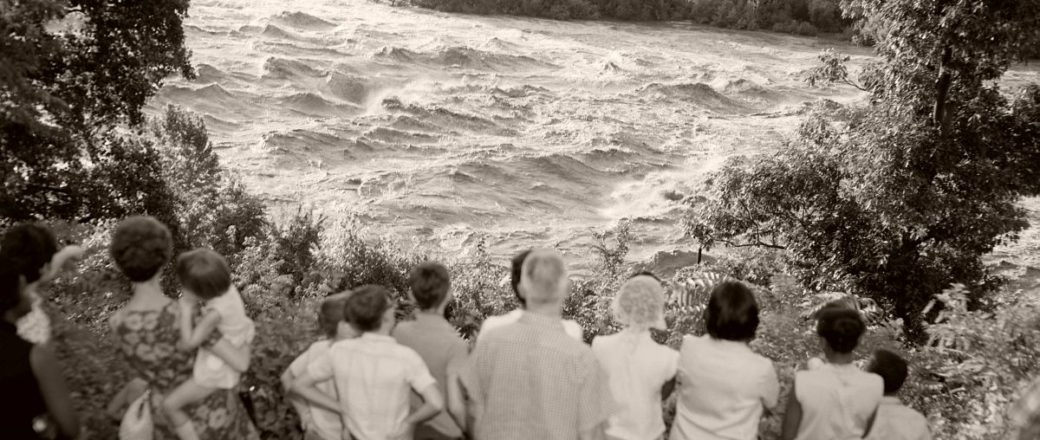
Camille is one of the most powerful hurricanes ever recorded and the most devastating natural disaster in Virginia’s history. The storm formed over the Gulf of Mexico on August 14 and quickly developed, reaching a category 3 hurricane over Cuba. Making landfall on the U.S. Gulf Shore as a category 5, Camille caused catastrophic damages throughout Alabama, Mississippi, and Louisiana. The hurricane slowed as it moved up the coast, but unexpectedly stalled on the eastern side of the Blue Ridge Mountains. Though reports vary, Camille hit Virginia on August 19-20 and as much as 27″ of rain fell in Nelson County in a three-to-five hour span. In Nelson alone, 133 bridges were washed out. Flash flooding and landslides caused severe damages to homes and roads along the Tye and Rockfish Rivers. Charlottesville was isolated by rock and mudslides on major roadways. The James River flooded all along its path, with a peak crest of 28.6 feet in Richmond. Hurricane Camille caused a total of 153 fatalities in Virginia, with damages totaling $133 million.
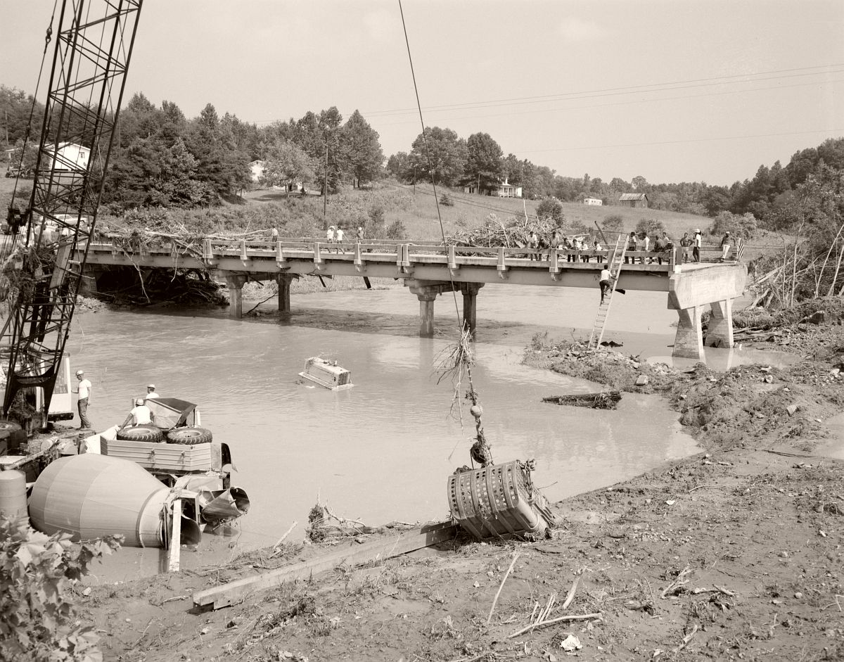
Hurricane Camille flooding washed out the Rt. 29 bridge over the Buffalo River, approximately two miles north of the intersection with Rt. 60 in Amherst County. Photo taken looking north. No. 69-1170, Virginia Governor’s Negative Collection, Library of Virginia.
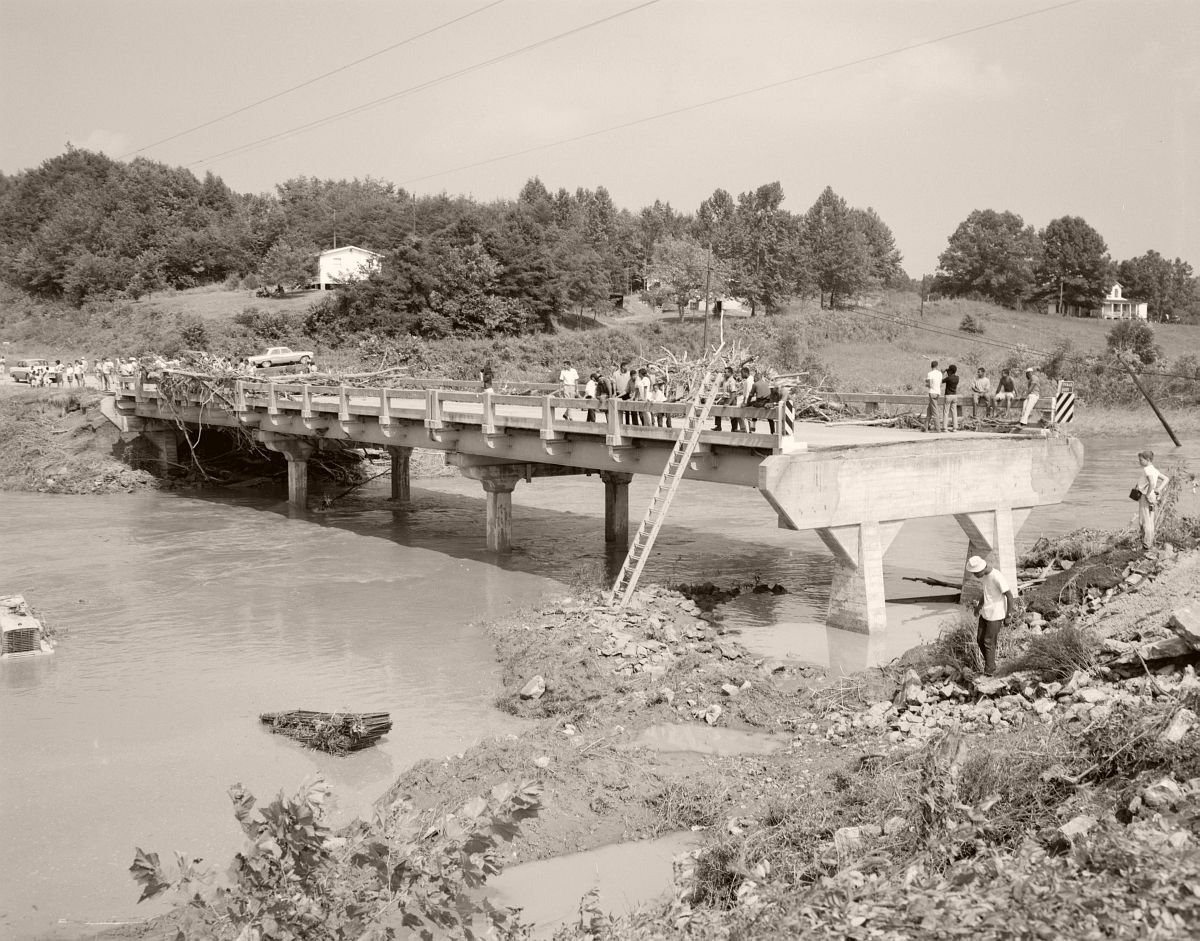
Onlookers gather on the badly damaged the Rt. 29 Buffalo River Bridge, approximately two miles north of the intersection with Rt. 60 in Amherst County. Photo taken looking north. No. 69-1173, Virginia Governor’s Negative Collection, Library of Virginia.
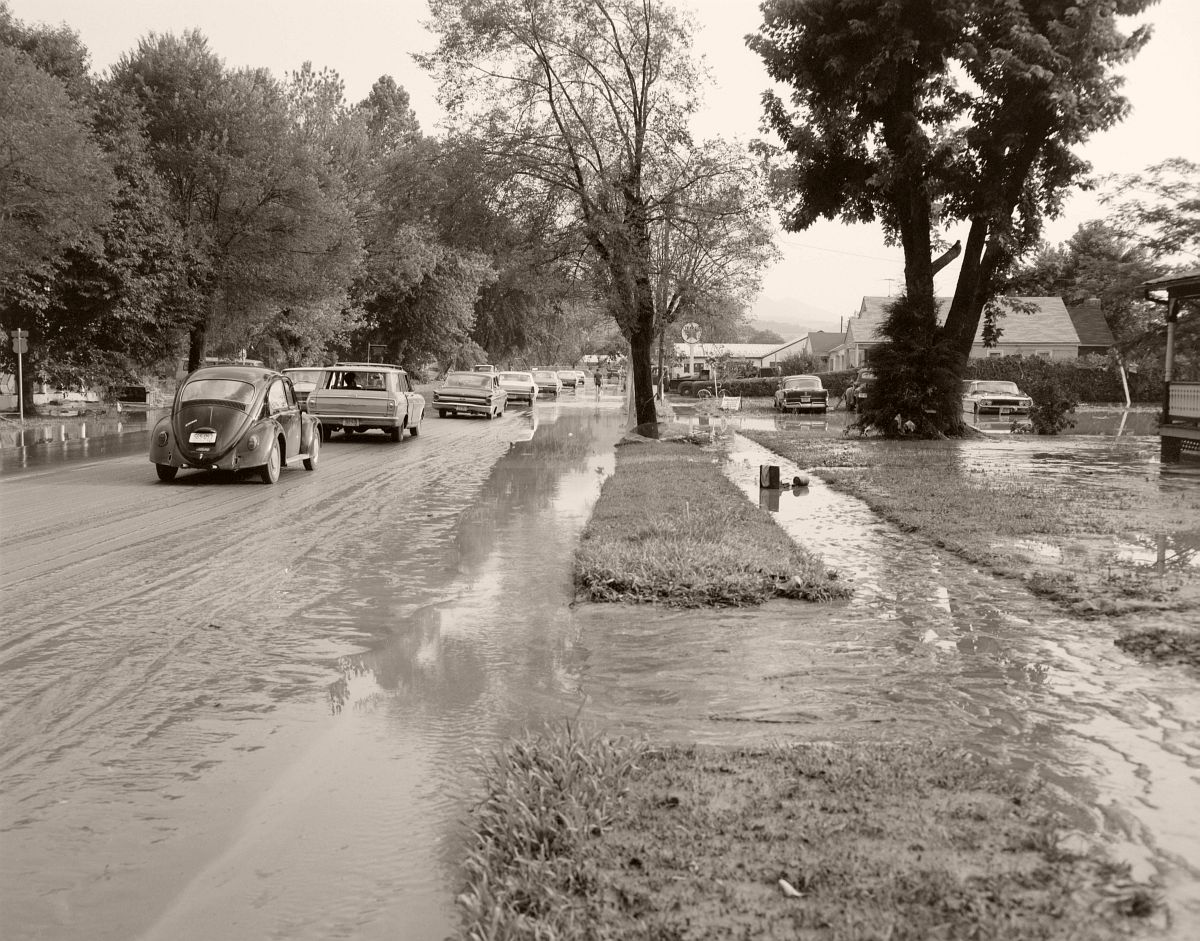
Though yards and driveways were still underwater, traffic was able to move both directions on Magnolia Avenue in Buena Vista, Virginia following Hurricane Camille. The small town in Rockbridge County recorded 5 feet of standing water in the downtown area. No. 69-1177, Virginia Governor’s Negative Collection, Library of Virginia.
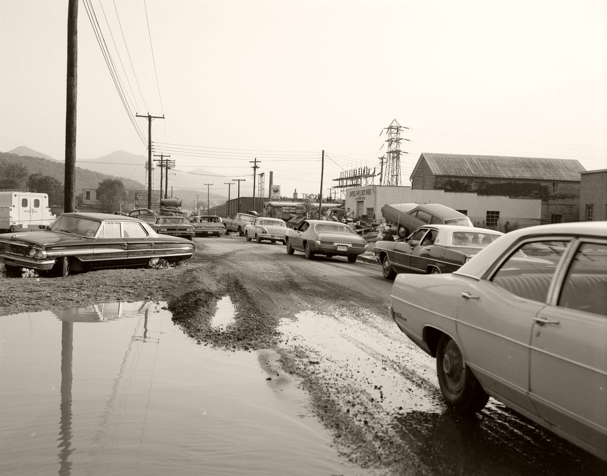
Sycamore Avenue in Buena Vista was passable at the time of this photograph, but some vehicles appear to have stranded during the flash flooding and not yet retrieved by their owners. Rescue Sqaud vehicle visible on left. Located just off Rt. 501 in Rockbridge County. No. 69-1178, Virginia Governor’s Negative Collection, Library of Virginia.

A driver naviagates through vehicles damaged during Hurricane Camille on Sycamore Avenue. Located just off Rt. 501 in Buena Vista, Rockbridge County. No. 69-1179, Virginia Governor’s Negative Collection, Library of Virginia.
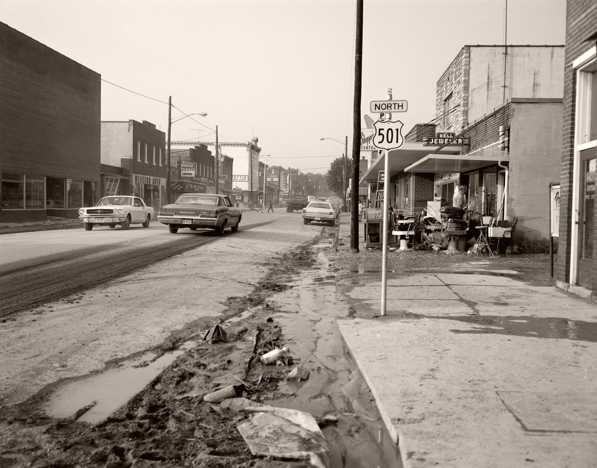
The road is clear, but signs of the recent flooding are still visible. Located in Rockbridge County. No. 69-1183, Virginia Governor’s Negative Collection, Library of Virginia.
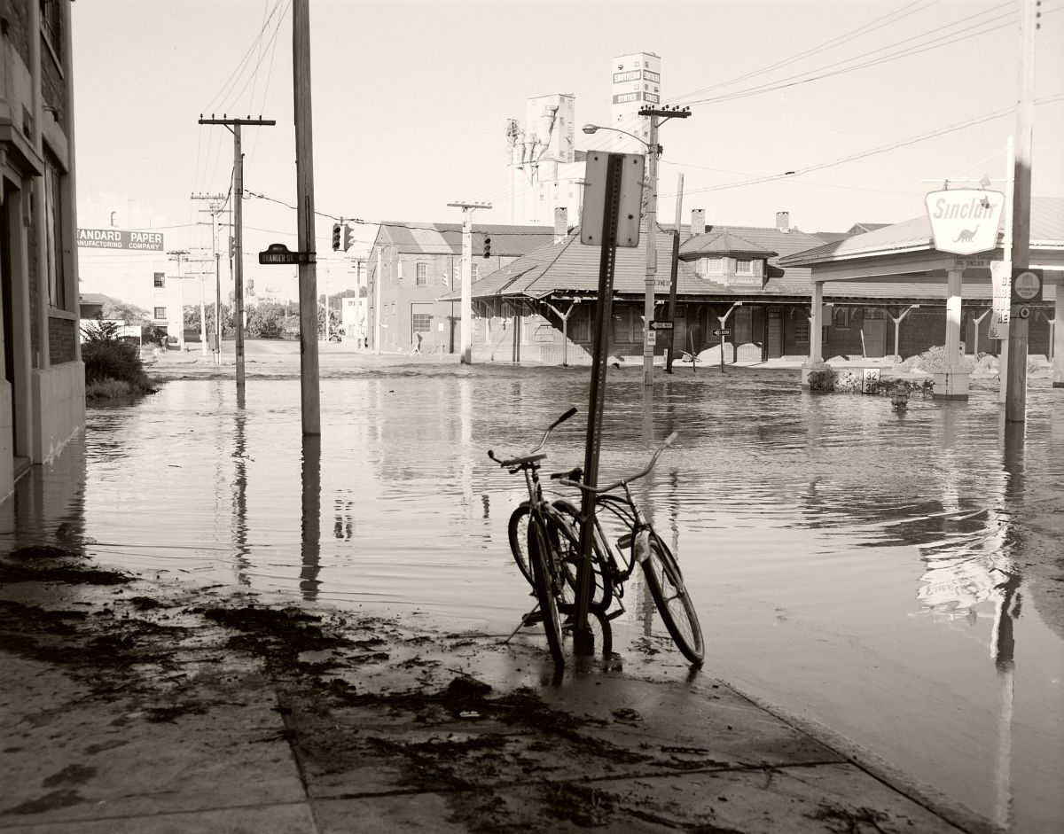
Two bicycles are abandoned at the flooded intersection of Hull Street and 2nd Street, on the southern end of the 14th Street Bridge in Richmond. No. 69-2025, Virginia Governor’s Negative Collection, Library of Virginia.
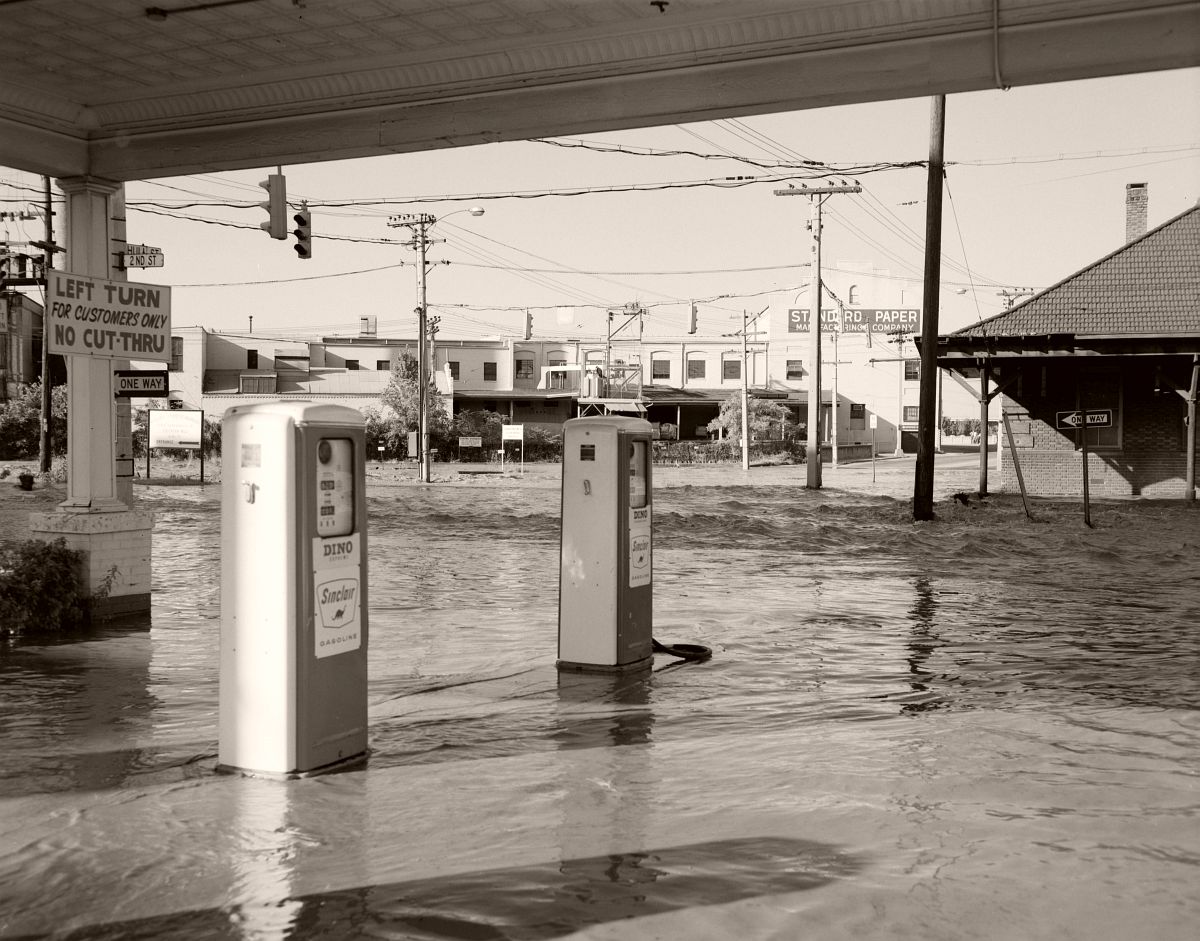
Businesses near the southern end of the 14th Street Bridge are completely flooded. Located at the intersection of Hull Street and 2nd Street. No. 69-2026, Virginia Governor’s Negative Collection, Library of Virginia.
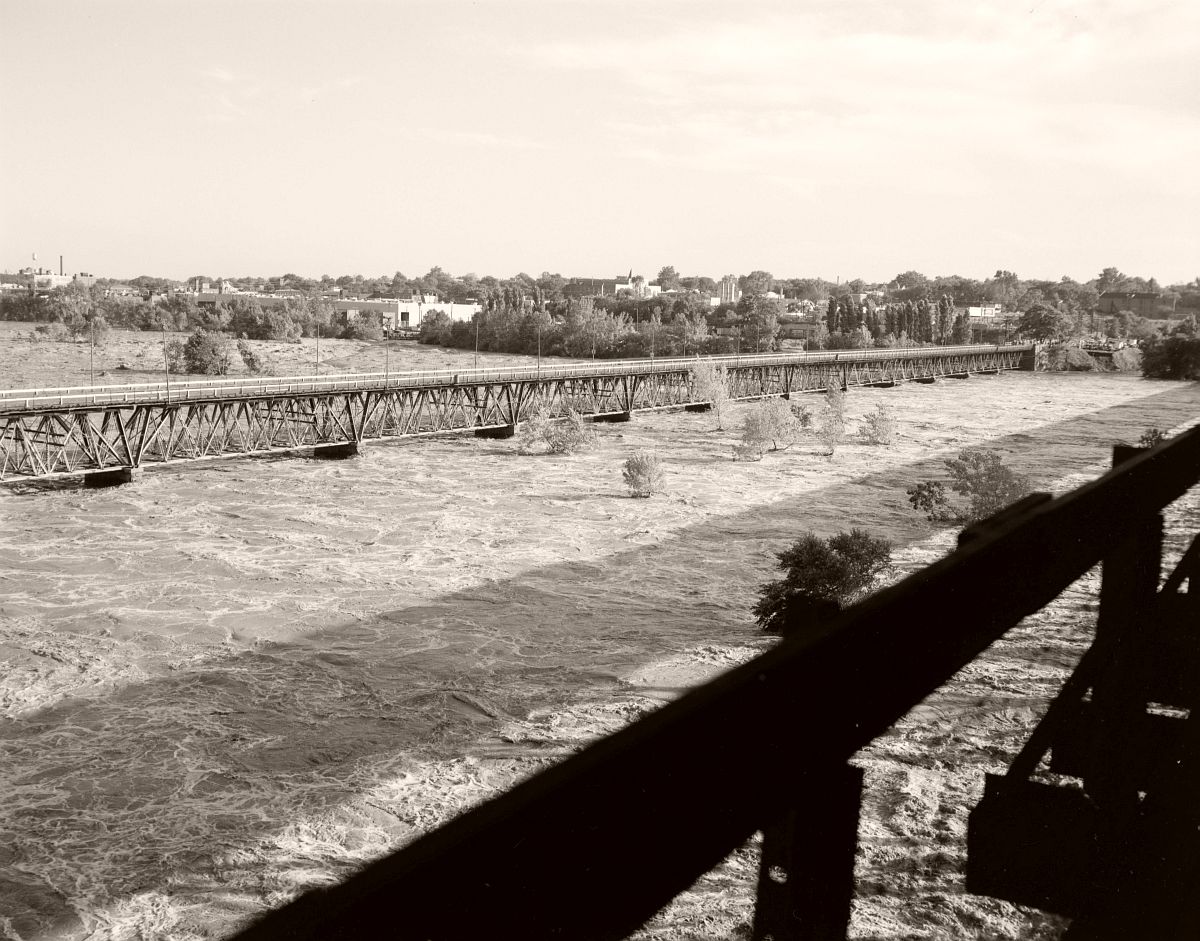
The waters of the James River nearly cover the piers of the 9th Strett Bridge in Richmond. No. 69-2033, Virginia Governor’s Negative Collection, Library of Virginia.
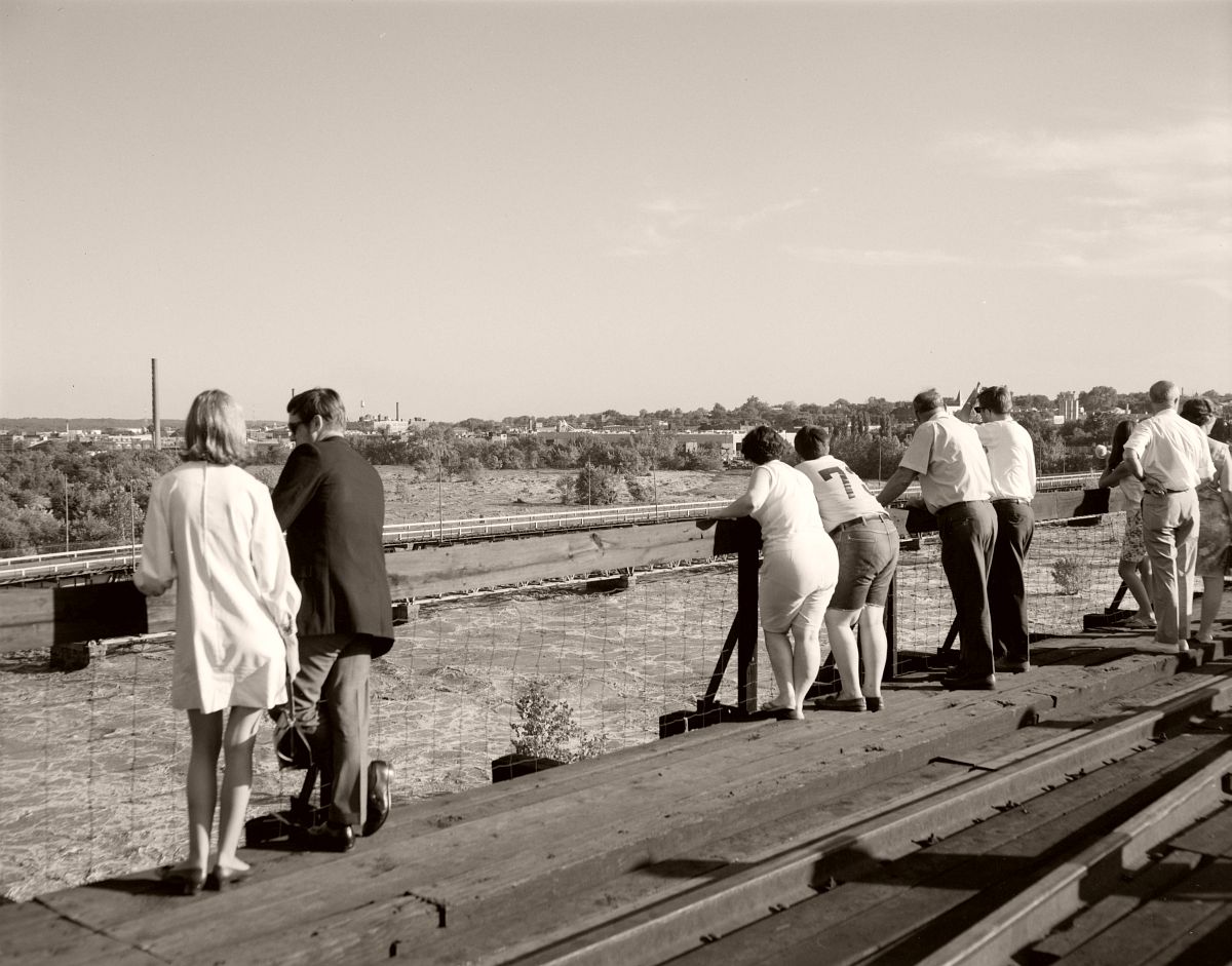
Locals gather on the 9th Street Bridge to look down on the flooded James River. No. 69-2046, Virginia Governor’s Negative Collection, Library of Virginia.
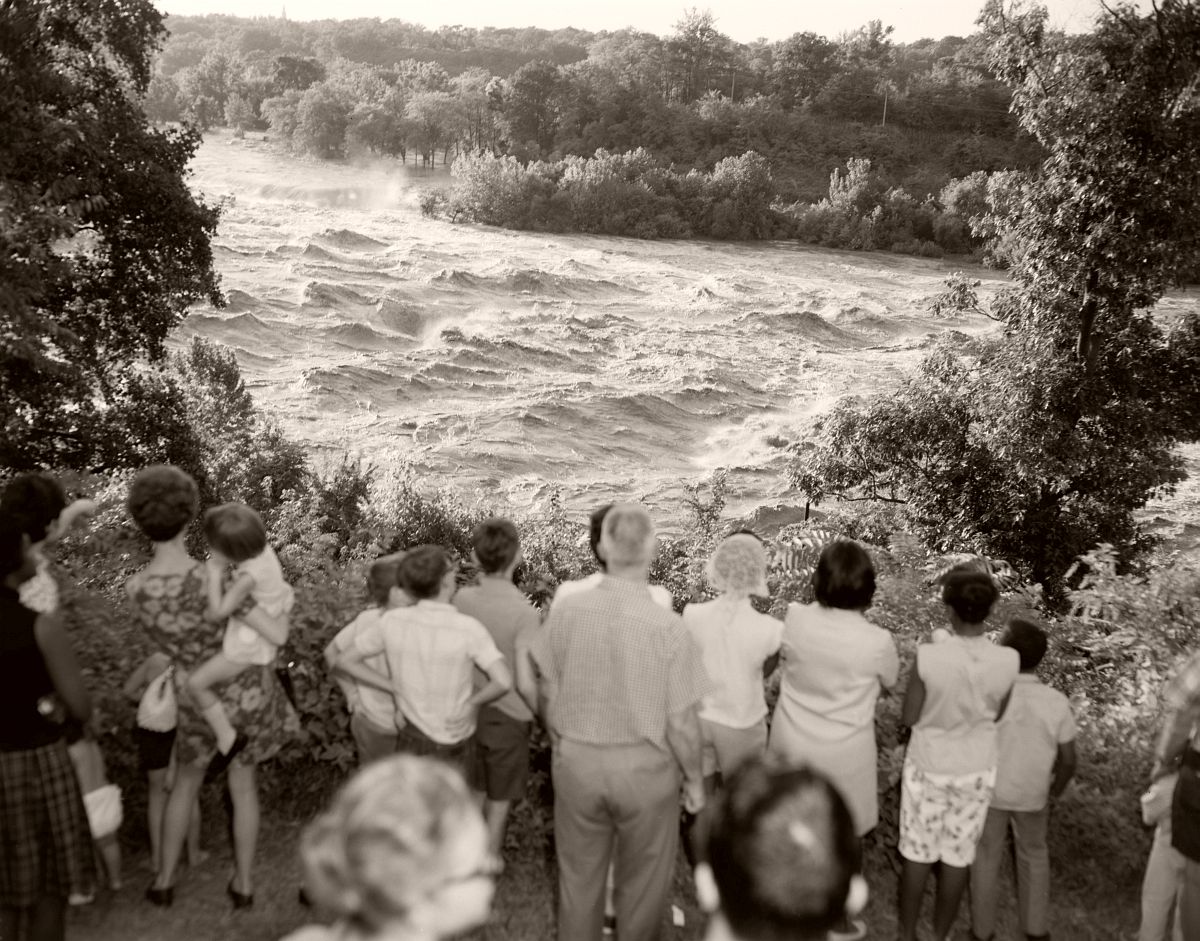
Onlookers gather to watch the flood waters of the James River near the south end of of the Lee Bridge in Richmond. The James River peaked at 28.6 ft in Richmond from Hurricane Camille. No. 69-2051, Virginia Governor’s Negative Collection, Library of Virginia.

